Crossing the Pasubio: from Rovereto to Schio through the places of the Great War
Four days from Rovereto station to Schio station, 64.7 km and 2,340 metres of climbing along the military roads of the Pasubio. The monastery at Pian del Levro, the gnocchi at Malga Zocchi, the craters of the mine war on the Denti, and a final descent by mountain bike.
- Distance: 64.7 km in four stages, 40.1 on foot and 24.6 by bike
- Elevation: 2,340 m up, 2,330 m down
- Duration: 15:37 h of moving time according to Komoot, spread over four days
- Altitude: from 190 m at Rovereto station to 2,190 m at the highest point on day three
- Difficulty: Komoot rates the first stage Intermediate and the second and third Expert. On the Italian CAI scale it's E (hiking trail), with EE stretches (for experienced hikers) if you climb the Dente Italiano or go into the tunnels
- Waymarking: a network of military roads and SAT trails, including trail 105 on the western flank of the Pasubio, which here overlaps with the E5 and the Path of Peace (Sentiero della Pace)
- Start and finish: Rovereto station and Schio station. It's a point-to-point route you can do without a car
- When: 9 to 12 August 2025
- For whom: anyone willing to trade two hard days of climbing on military roads for the piece of Italian twentieth-century history that sits on top of them
The route, day by day
Day 1. Rovereto station → Pian del Levro
13.7 km · +710 m · −160 m · 4:15 · Intermediate · from 190 to 750 m
You leave the station and walk through Rovereto, and the town is worth a proper half hour. Its old centre was shaped by a history pulled back and forth between Venice and Austria-Hungary. Komoot points out three spots in town: the Neptune Fountain in Piazza Battisti, Via della Terra and, further on, the little church of Ca' Bianca. If you have time, the Italian War History Museum inside the castle and the Bell of the Fallen (Campana dei Caduti) are the perfect introduction to everything you'll see over the next three days.
Then you climb towards Noriglio, cross the stream and gain height slowly up to Boccaldo, where you join the network of military roads. One thing the numbers don't tell you: almost half the stage is on tarmac, 6.5 km out of 13.7. It isn't the most beautiful day of the walk, but it puts you in the right frame of mind, one step after another.
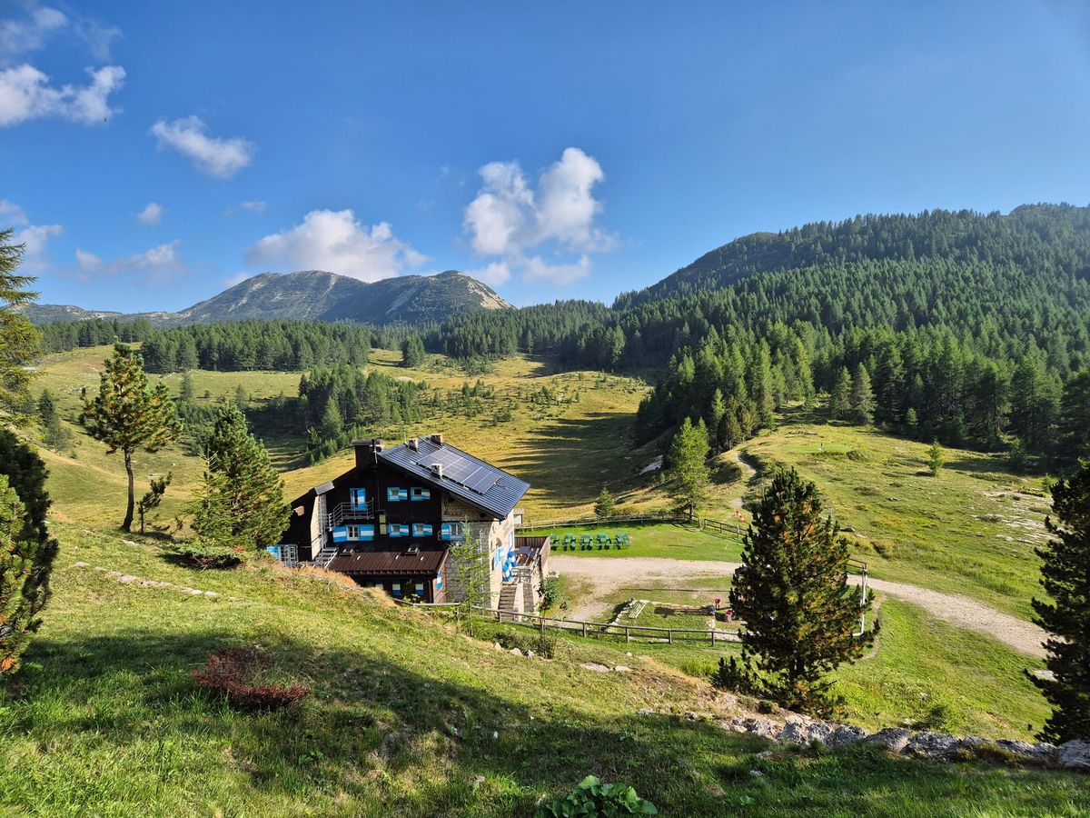
The day ends at Pian del Levro, home to a monastic community. You can stop for tea and catch your breath, or stay the night.
Day 2. Pian del Levro → Rifugio Lancia
9.05 km · +1,070 m · −20 m · 4:03 · Expert · average 2.2 km/h
Nine kilometres and more than a thousand metres of climbing. This is the hard day, and the numbers don't hide it. The main climb is 909 metres over 6.41 km, at an average gradient of 14%. You barely go downhill at all: 20 metres of descent in the whole stage.
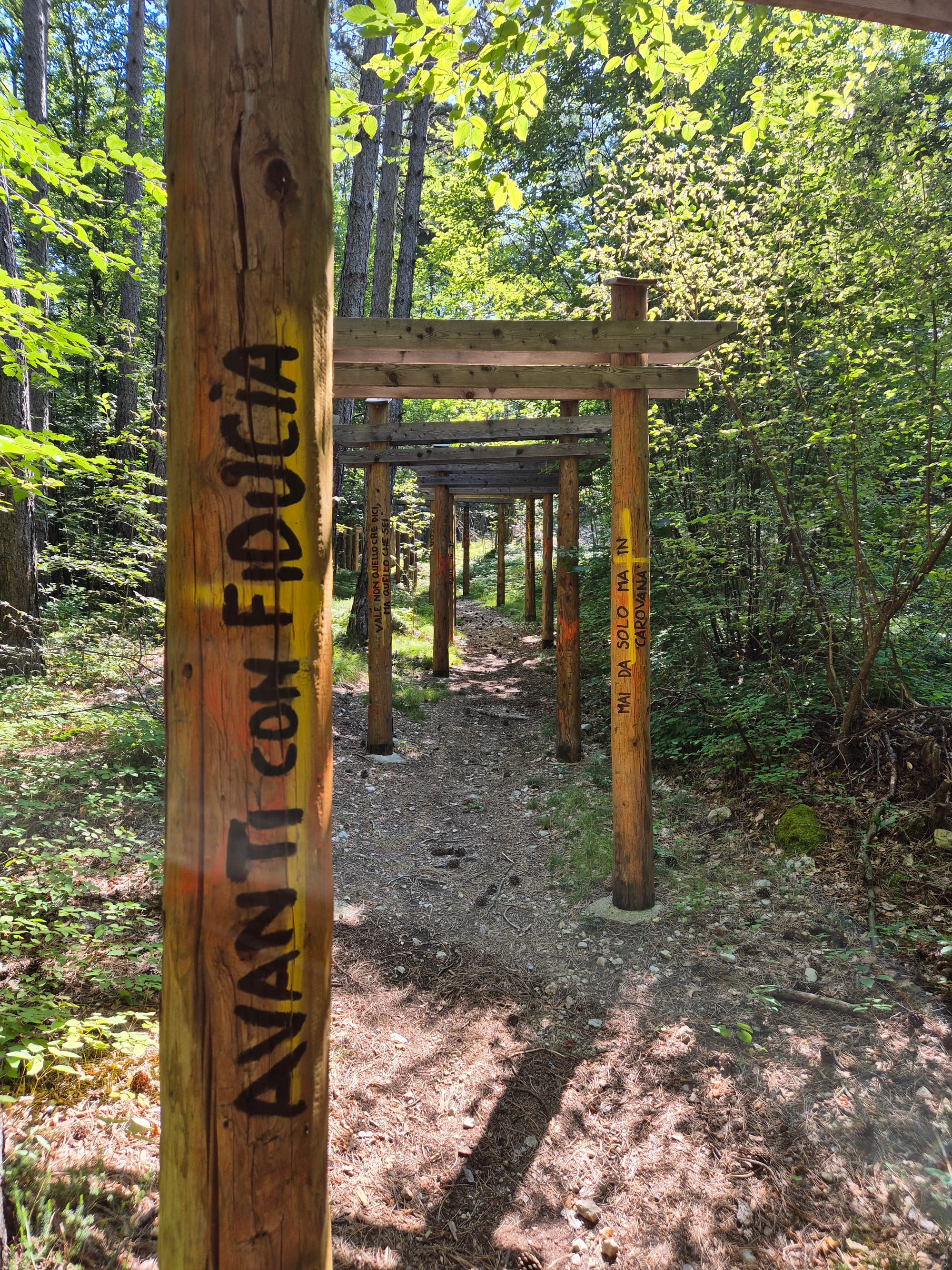
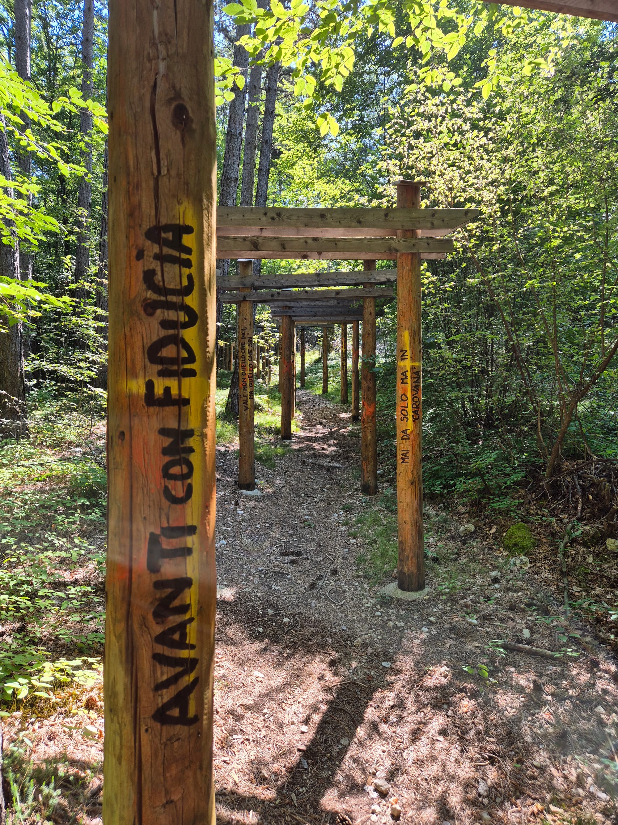
Two hundred metres after the start you'll find the Meditation Path "Scintille di Vita" (Sparks of Life), a tunnel of Japanese-style gates leading to the small monastery. It's worth the five minutes it takes, and it's the right way to begin a day like this.
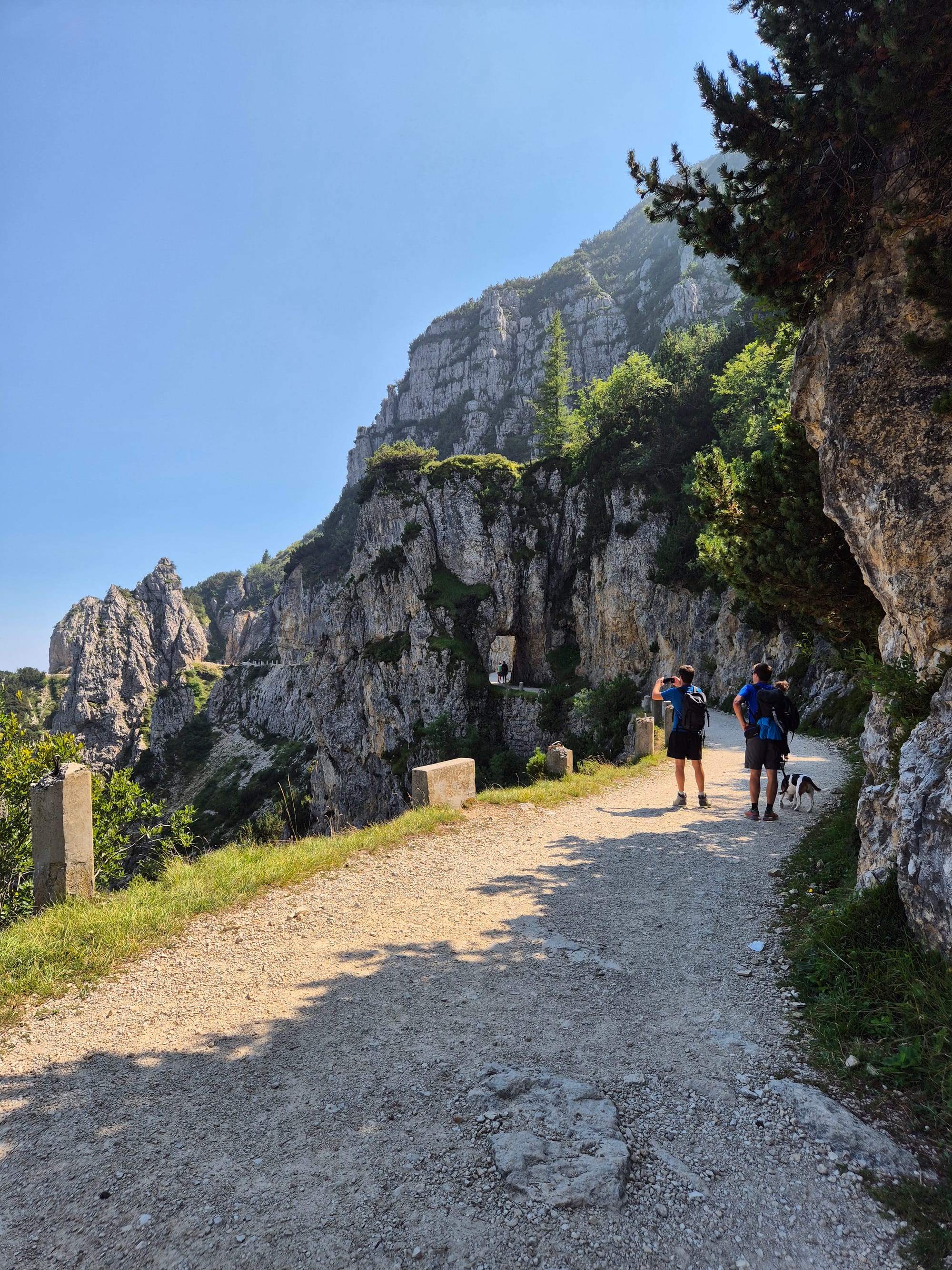
Then you climb alongside the Rio Orco on a steep military road that seems never to end, almost all of it on gravel and natural ground. Above Giazzera the landscape changes all at once and the Pasubio plateaus open up. You pass the Austro-Hungarian cemetery, and from there on you're already walking through history.
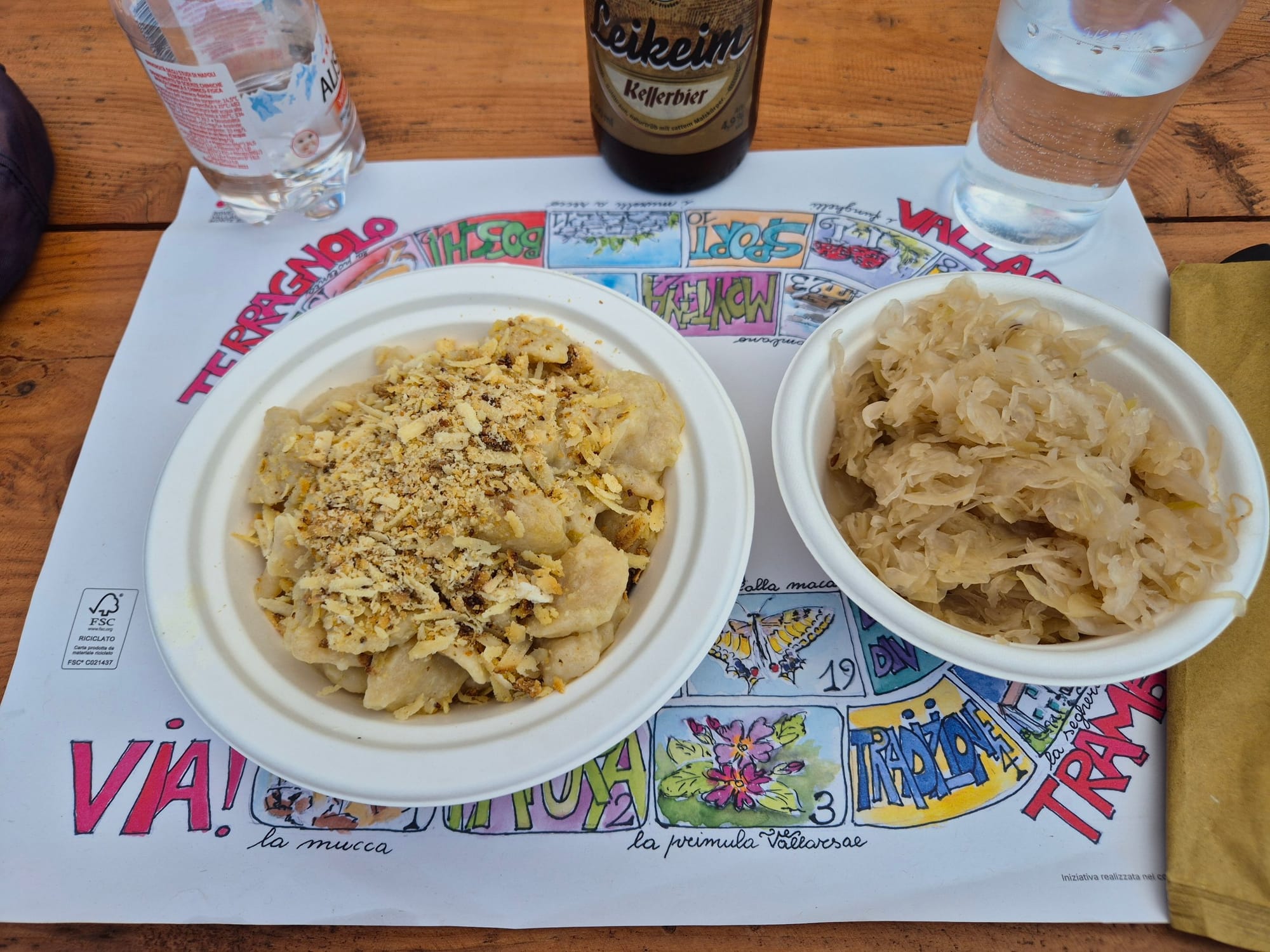
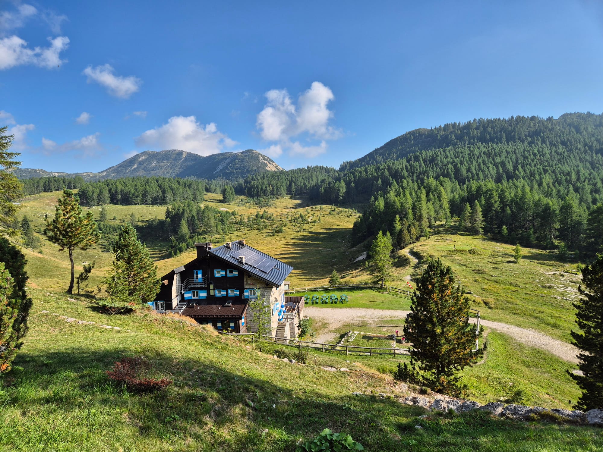
A stop at Malga Zocchi is a must. From the malga to Rifugio Lancia it's just over an hour. You can take the direct road, or make it longer by passing Monte Testo, about 2,000 m. That's the variant I did, and it takes in tunnels and positions that were made safe only recently.
Day 3. Rifugio Lancia → Denti del Pasubio → Pian delle Fugazze
17.3 km · +450 m · −1,070 m · 6:05 · Expert · from 2,190 to 1,170 m
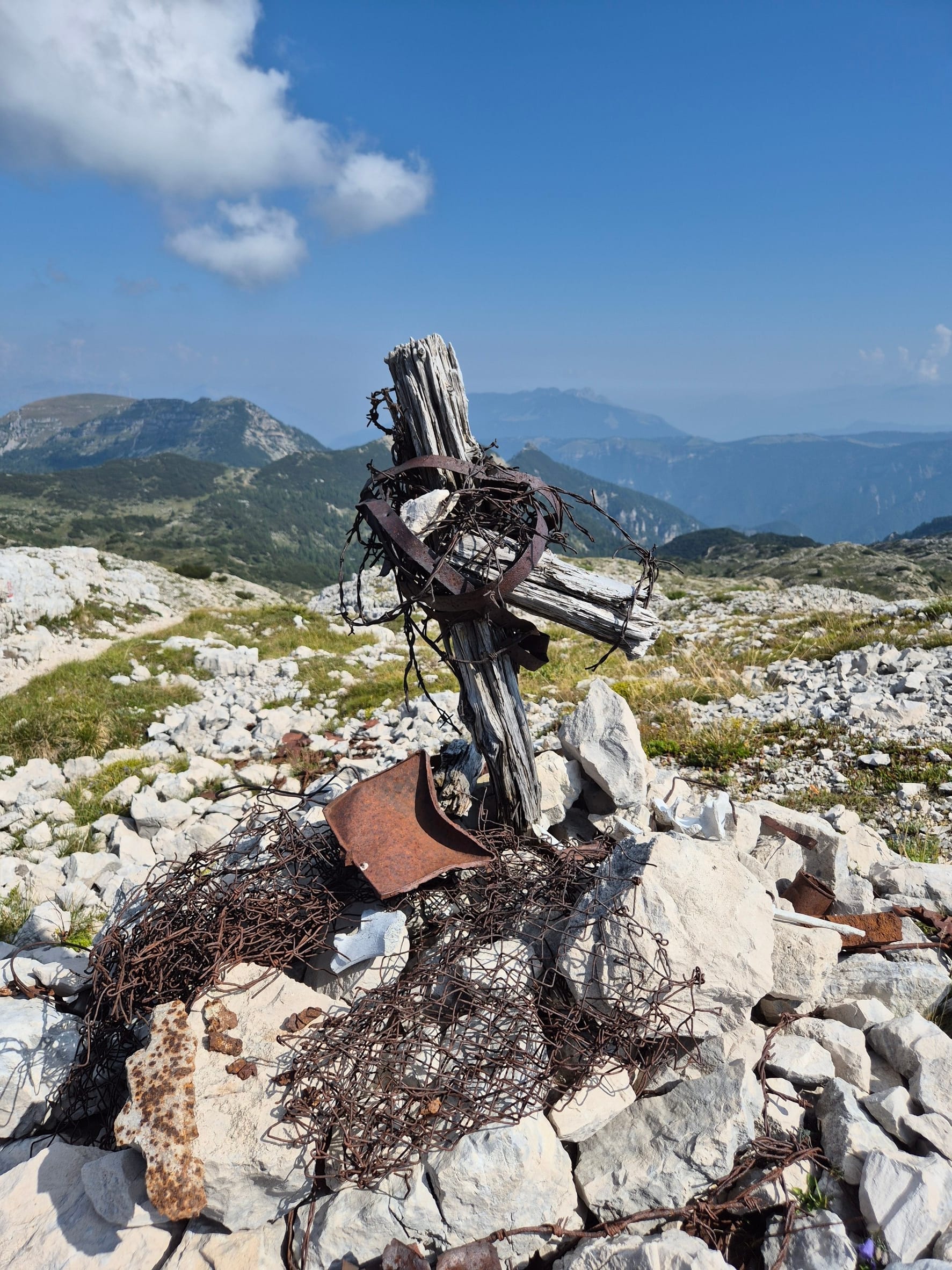
This is the stage you come all this way for. From the Lancia you climb to Bocchetta delle Corde and join trail 105, which here overlaps with the E5 and the Path of Peace, on the western flank of the massif. The ground changes character: craters, trenches, tunnel entrances, overturned rock. At some point you stop reading about the war and start walking inside it.
After the saddle of Piccolo Roite you reach the Dente Austriaco (the Austrian Tooth), 5.2 km from the start, and the small saddle separating it from the Dente Italiano (the Italian Tooth). These are the two rock spurs where the fiercest battles of the Pasubio were fought, and the ground tells the story better than any sign.
At 8.2 km you reach Rifugio Papa. This is where you have lunch, and from here it's nine kilometres of descent on a military road down to Pian delle Fugazze, at 1,170 m. Just above the pass stands the Pasubio Ossuary: if you still have the legs and the daylight, it's the right way to close the day.
Day 4. Pian delle Fugazze → Schio, by bike 🚲
24.6 km · +110 m · −1,080 m · 1:14 · average 19.9 km/h
An hour and a quarter, a thousand metres dropped, the reward after three days on foot. Two long descents, 322 metres over 5 km and then 643 metres over 10.4 km, both at an average of 6%. You roll into Schio, catch the train and head home.
The history you walk through
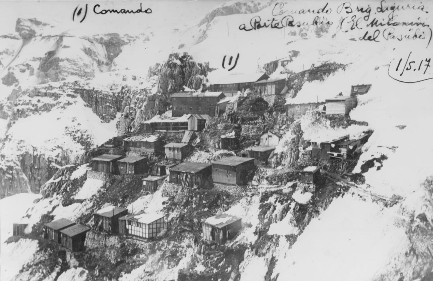
The Italians took the Pasubio in the first three days of the war and held it for about a year. In May 1916 the Strafexpedition, the Austro-Hungarian spring offensive, took back much of the massif: by 17 May the imperial troops were on Col Santo. After the fighting in July the front froze, and the two lines stayed just a few dozen metres apart on the Denti.
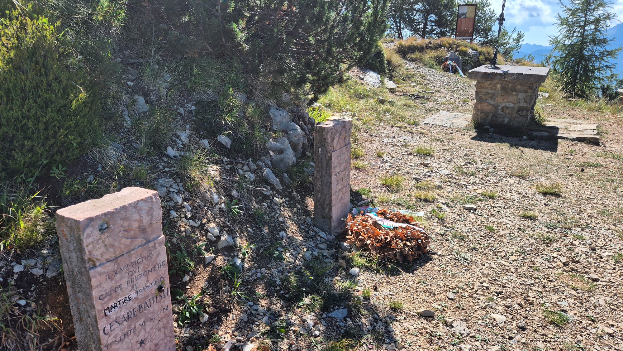
On 10 July 1916, on Corno di Vallarsa, Austro-Hungarian troops captured Cesare Battisti and Fabio Filzi. The first interrogations took place at Malga Zocchi, the same malga where walkers stop to eat today. From there they were taken to the Buonconsiglio Castle in Trento, where Battisti was executed two days later. Since then that summit has been called Corno Battisti.
Once the front had frozen, the war went underground: digging tunnels beneath the enemy and blowing up the mountain. Ten explosions in seventeen months, five Austrian and five Italian, between 29 September 1917 and 13 March 1918.
The last one was the largest on the entire Italian front: 50,000 kg of explosives in two blast chambers under the Dente Italiano, which brought down the northern part of the summit. 52 Italian soldiers and 3 Austro-Hungarians died. The crater you see at the saddle between the Denti, which the Austrians called Eselsrücken, "the donkey's back", comes instead from the first Italian mine, on 2 October 1917.
The overall toll of the mine war on the Pasubio: 112 Italian dead, 29 Austro-Hungarian, and no tactical gain.
After the war only four places on the whole front were declared a Sacred Zone: Monte Grappa, Sabotino, San Michele and Pasubio. The boundary is marked by thirty white stone markers laid in 1925. When you walk between Rifugio Papa and the Denti, you are inside that boundary.
What I think
It was one of the most beautiful journeys I've ever made on foot in my whole life.
The first stage isn't "beautiful" in the classic sense, but it's accessible, and it really is one step after another. The second is simply hard: you climb the Pasubio with all the effort it takes, always on that steep military road, away from the scenic routes.
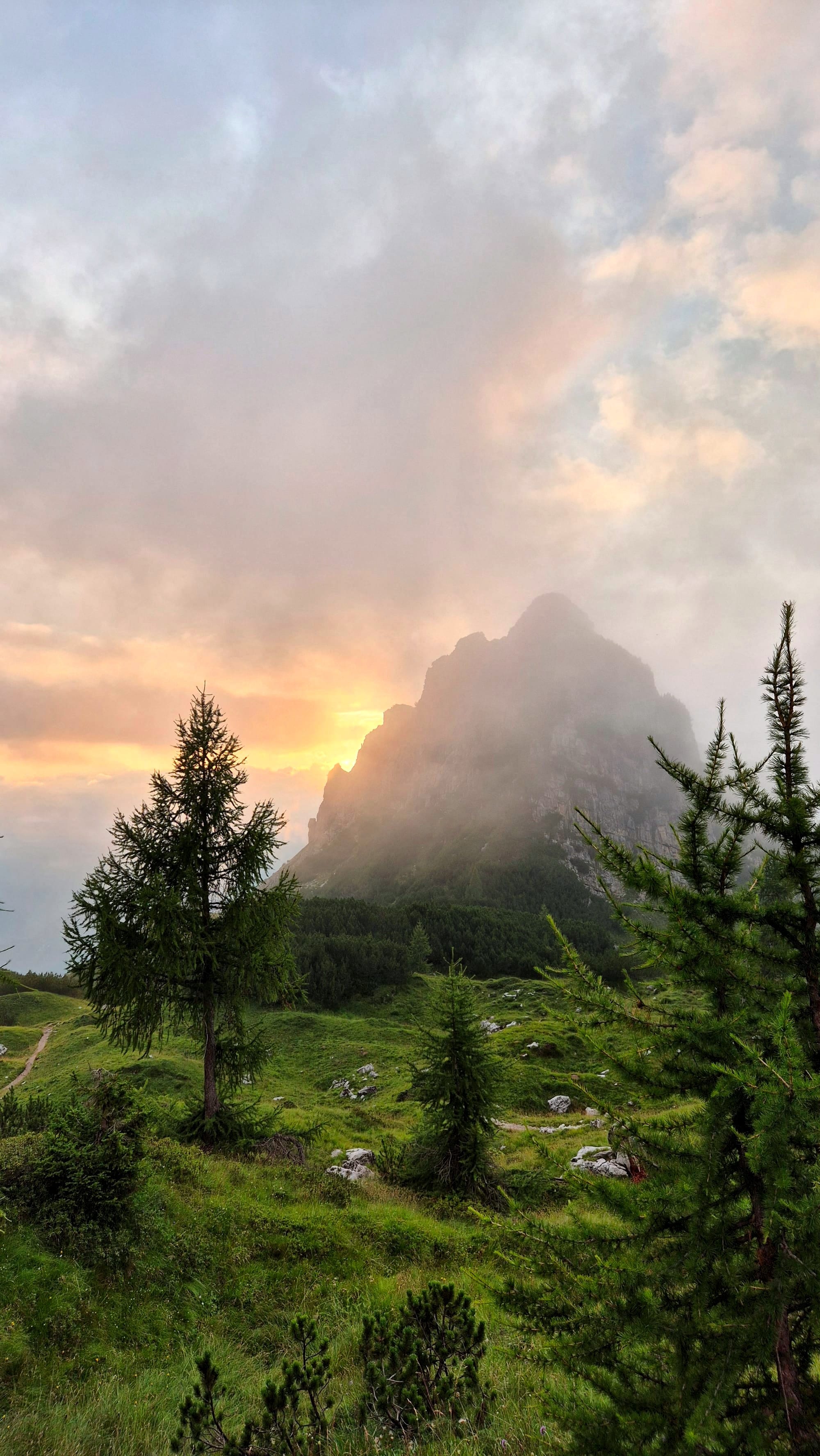
The next day, setting off from the Lancia, I met some scouts and headed towards the Roite. That's where the bombardments stop being history and become something physical in front of you: holes in the ground, marks, scars. At the Denti you understand where the fiercest battles of the Pasubio were fought, and you can see the traces of the huge explosions of the mine war, the underground war, fought by digging tunnels and placing charges to blow up whole sections of rock.
Then Rifugio Papa, lunch, a beer. And the next day the bike ride down to Schio, which was wonderful. History to discover, fantastic landscapes, real effort. It was worth it.
Some photos